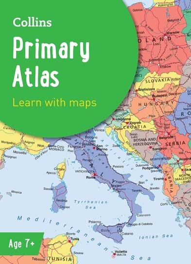
Description
This new, fully up-to-date edition includes information on map reading skills, the meaning of scale and measuring distances, and is ideal for classroom use or home learning.
Reference maps:
Informative, politically coloured and easy-to-read
National capitals and major cities are clearly labelled
Maps are supported with national flags and basic national statistics
Continental maps:
Linked to regional mapping
Supported by a selection of aerial and terrestrial photographs
Relief maps show layer colouring and highlight major physical features

Reviews
There are no reviews yet.